Translate

Thursday, June 27, 2013

And so, the Pacific, at last.....

We went across State Highway 12 to I-5 and south on that to Longview. Then, out to the coast on the north side of the Columbia River. We arrived at the south end of Willapa Bay in late afternoon.  The tide was out (that's, usually water from the road to the island, at high tide).


You see where the water line usually is.


Lovely. And the bay, ocean, water aromas were wonderfully new and refreshing.


Some geese, waddling along....


...and then, all of a sudden, we're there! Long Beach, the main drag.


Long Beach approach to the sea.


NO SWIMMING, yah think?


And there it is.....cool,


salty.....


....and you can drive on it at low tide. The speed limit is 25 MPH.


Beach grasses.....


...and the Long Beach Boardwalk.


The old Campiche Book Store, today. It was a bookstore in 1969.


Downtown Long Beach, the Cottage Bakery. My DH's dad almost bought this shop in the 1960's. It's still a great bakery.


And the center of it all, as far as I'm concerned: BOARDWALK QUILTS!!!! If you go to Long Beach, plan to buy fabric here. Lovely ocean-themed stuff. I couldn't resist.


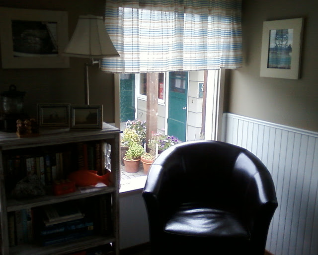
And, at last, our cottage and a comfortable chair. We stayed at the Anchorage Cottages. This is where you must stay, when you go to Long Beach.


Ehkolie is Chinook Indian language for whale. Our cottage #1 was called Whale Cottage.


It was completely and carefully decorated, including magazines, books, games, dvd's.....


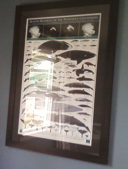
.....lovely pictures.....


....and all. The bed was WONDERFUL and the kitchenette completely furnished right down to a waffle iron.  

An old ad for a powerful soap.


Looking out the window. Outside was a complete patio with a place to picnic and barbecue. Lots of flowers and chairs and swings with a lovely trail to the beach.

Tomorrow.....exploring the Long Beach Peninsula.


Wednesday, June 26, 2013

Journey to the Sea


A few weeks ago we made a journey to the sea. We packed our little truck and headed out west on I-90.....


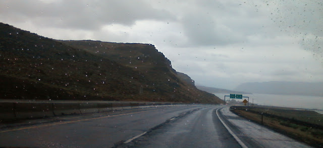
through Moses Lake. It was a very rainy morning, yes, indeed.


When we came to the crossing of the Columbia River at Vantage, it was raining pretty hard. This is a view north along the river.
 

On a ridge to the east of the Vantage Bridge is this sculpture group of welded metal horses called, "Grandfather Cuts Loose the Ponies"  by David Govedare.


The Vantage Bridge.


Down the hill.....


....and across the bridge in the pouring rain....


....looking north from the bridge....


...then up the other side through a forest of wind turbines slowly turning in the mist....


At Ellensburg, we turned south for Yakima, up a long grade in sudden sunshine. But looking toward the horizon, more clouds....


....and a beautiful view....


.....the great mountains of the Cascades here, Rainier, Adams and Mt. St. Helens, hid themselves....


....in beautiful clouds....


......rather breathtaking from this high place above the Yakima Valley....


......yes.....


Then we turned west again toward the Cascades and White Pass, facing a literal wall of water that deluged us shortly after this picture was taken.


It cleared....and then clouded and cleared....and then rained....all through the day's journey.


Here we are following the lovely Tieton River.


The forest is peppered with beautiful oak trees....


and the river runs milky from the melting glacial snows of the great mountains.


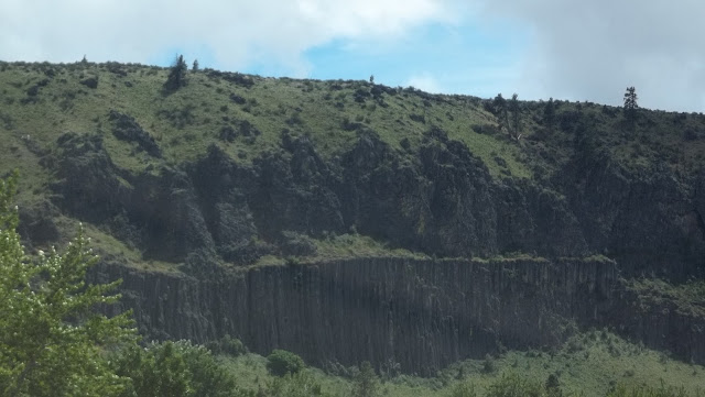
You can just see the bottoms of the basalt palisades along the route. Vertical columns of rock...


....line both sides of the river....


with great chunks of the once molten rock.....


showing the erosion of glacial floods in eons past.


Here you see evidence of two separate volcanic rock events, one on top of the other, thousands of years apart.


We stopped at Oak Creek Wildlife Area to view the road back to the east.....


...and to read about the various wildlife and plants of the area.


One of the lovely oak trees, glistening with the recent rain. Oak trees are rare in this part of the state of Washington, but this part of the Tieton River canyon is full of them.


Another view of the palisades....


...and Oak Creek refuge showing the two, possibly three, layers of volcanic activity in centuries past.


A clear picture of two different volcanic layers of basalt....


....finally, nearing White Pass summit, snowy ridges.


...and the lake of milky water, freezing cold, I am sure....
 

....the Randle/Packwood are just over the White Pass summit....


lovely farms....


and interesting mountains.....lots of logging here....


....and so ended the first day of our journey to the sea. We had crossed the Cascades and nestled into a little motel by the way. Tomorrow, the ocean.....